[Note: Click on any picture for full screen of picture. Esc to return.]
All the Glass that is left is very small.

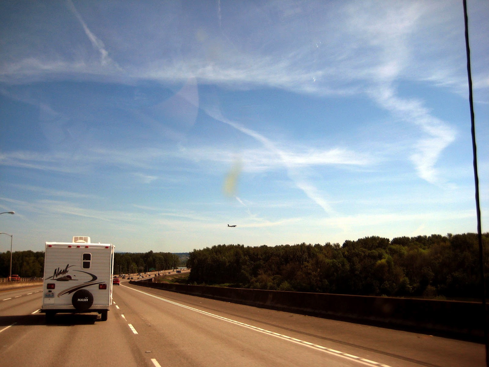
Almost Sunset

We hit Glass Beach at low tide so lots of beach was exposed.


North just out of town to Mac Kerrcher camp ground. Nice CA camp ground but $35.00 per night and you have to pay for the shower.
~~~~~~~~~~~~~~~~~~~~~~~~~~~~~~~~~~~~~~~~~~~~~~~~~~~~~~
MONDAY May 7th.
Good nights sleep listening to the ocean. Walked to the beach and found a guest in our camp site. Warm morning as sign of things to come on our trip.
Our camp site, with ocean view.

Us on the beach.

Our camp visitor.

~~~~~~~~~~~~~~~~~~~~~~~~~~~~~~~~~~~~~~~~~~~~~~~~~~~~~~~
Next we went to the Mendocino Botanical Gardens. We have been in the summer but never in May. WOW if you are ever in the area it is a must see. I will let the pictures show you how good it is.


~~~~~~~~~~~~~~~~~~~~~~~~~~~~~~~~~~~~~~~~~~~~~~~~~~~~~~~
After the gardens we were off to the Harvest Market in Fort Bragg. I wish we had a market like this at home. Purchased lunch and supplies. Got out of Fort Bragg just after noon and had lunch at a view point on Hwy 1 over the Pacific.
Trip is starting out great. We head north and inland to Legget and Hwy 101 and the start of our warm weather. The redwoods are always great to see and are thick enough to block the sun.

We bypass all the tourist traps and enjoy the views at we head to Oregon. At Brookings we head for the Azalea Gardens. The plants are very old and still not in full bloom.


Camp site at Harris Beach Oregon. Oregon State Parks sets the bench mark for all state parks. Clean, great locations, free showers and only $20 per night.

Coast line at Harris Beach

First of many bridges we crossed. Veronica has a picture of each one.

~~~~~~~~~~~~~~~~~~~~~~~~~~~~~~~~~~~~~~~~~~~~~~~~~~~~~~~
Tuesday May 8th.Up the coast we go. Great views all along the Oregon coast. Warn and sunny to start the day.
Scotch broom was everywhere, later found out it was an unwanted weed.

Many tunnels, sign says bicycle in tunnel when lights flash.

Start of the sand dunes by Coos Bay.

Another old bridge.

We were stopped for construction when Veronica notice this sign. Could not figure what happened to the top looks like it was chewed off.

The sky's darken as we arrive in Fort Stevens.

We arrived and checked in at Fort Stevens, found it was the largest state campground west of the Mississippi River. We were assigned a camp site and drove in to find most of the sites were full. What was going on? Forgot to get a picture of the camp site ;( , may be all the mosquitoes we saw out the windshield when we arrived. Set up quickly and got inside before the mosquitoes had much to eat. Very quiet night with a small amount of rain falling on the roof as we went to bed.
~~~~~~~~~~~~~~~~~~~~~~~~~~~~~~~~~~~~~~~~~~~~~~~~~~~~~~~~
Wednesday May 9th
Morning at Fort Stevens.
Got up and took the tour.
Drove to the observation point. LARGE parking lot may have had 1,000 spots, picture only shows 1/3 of the lot. WTH no one there and our campground was full?

Climbed up the tower and found the people. Cars and people as far as you could see, north and south. We found it was a minus tide and Razor Clam season had just opened. Now we know why the campground was full.

Did I mentions it was cold and windy?

Down off the tower got us out of the wind. Lots of old piers on the Columbia River side.

Drove down to the old shipwreck, cars parked everywhere on the beach.

Still windy on the ocean side.

~~~~~~~~~~~~~~~~~~~~~~~~~~~~~~~~~~~~~~~~~~~~~~~~~~~~~~~
Leaving Fort Stevens
Bridge over the Columbia River, Washington on the other side.

The sky darkens as we cross the bridge to Washington.

Minus tide made 1/2 the river into a mud flat.

We can see the rain as we come off the bridge. Only lasted 45 minutes and that was the only heavy rain on the whole trip.

Floating bridge over the Hood Canal. Light rain and end of any bad weather for the trip.

~~~~~~~~~~~~~~~~~~~~~~~~~~~~~~~~~~~~~~~~~~~~~~~~~~~~~~~
Wednesday Night to Sunday Morning.
The view of the camper for the next four nights.

The view from Steve and Janet's deck, life is rough in Port Townsend.

Walking on Port Townsend's glass beach.

Steve testing how slick the sea weed is.

Veronica and Janet getting lunch ready.

Four good friends.

Port Wilson lighthouse.

~~~~~~~~~~~~~~~~~~~~~~~~~~~~~~~~~~~~~~~~~~~~~~~~~~~~~~~
Steve and Janet gave us a tour of Port Gamble. Company town, all property is owned and taken care of by the company and everyone rents from them.


~~~~~~~~~~~~~~~~~~~~~~~~~~~~~~~~~~~~~~~~~~~~~~~~~~~~~~~
Saturday morning at the Port Townsend farmers market. It is a different world from California.

Lots of great old buildings in Port Townsend.

Steve and I solving the problems of the world; Janet is not so sure.

~~~~~~~~~~~~~~~~~~~~~~~~~~~~~~~~~~~~~~~~~~~~~~~~~~~~~~~
Sunday May 12thHeading out to the Columbia River Gorge. Gas at Costco and we are on our way. We followed Steve pulling his new trailer. After a while had to turn on the A/C getting warn in Oregon in May? As we came into Portland saw 92 on the outside thermometer. The local news radio said another scorcher 15 to 20 degrees above normal. The heat stayed with us as we worked our way up the gorge. We camped at Viento; brochure said it meant windy in Spanish. We decided it meant no sleep for you. The camp ground was between Hwy 84 and the railroad. Trains came by about every 20 minutes; there was also a RR crossing at the campground so they sounded the horn! Some hit it once or twice as they came by, one pulled the horn all the time he was by the campground!!! Many camp in the gorge not many sleep.
Following Steve's trailer as we come into Portland.
Crown Point Over look from below.

One of the waterfall you can see from Hwy 84.

Our camp site at Viento, site of sleep interrupted.

Monday May, 13
Short morning walk from our camp.

Saw this double barge of saw dust on the morning walk, we would see it again.

Our camp with Steve's trailer as we get ready to leave.

After breaking camp we head for old Hwy 30 and the falls. This little road was at one time the only way to drive up the gorge.
Horsetail Falls on old Hwy 30.

Veronica getting the picture.

Janet enjoying the picture.

One of the original tunnels of old Hwy 30, now a trail.

Janet at the most visited spot in Oregon, Multnomah Falls.

I just liked this sign, hard to believe we are only 35 miles out of Portland.

Hours after we first saw the double barges of saw dust, there they were from the Crown Point Over Look. He had to go through the locks.

Our camper looking east down the gorge.

Steve and Janet arriving at Crown Point.

Us in front of the Crown Point Over Look.

Those are lilacs half the height of a power pole!

~~~~~~~~~~~~~~~~~~~~~~~~~~~~~~~~~~~~~~~~~~~~~~~~~~~~~~
Driving up Hwy26 toward Mt Hood.

Our camp on the East Fork of the Hood Rover. Only one other camper in the campground. Amazing how well you and sleep listening to the river. We had a small campfire and read outside until almost 9:00 PM. It stays light late this far north.

~~~~~~~~~~~~~~~~~~~~~~~~~~~~~~~~~~~~~~~~~~~~~~~~~~~~~~~
Tuesday May, 14th.
The next morning we are up early. Coffee, muffins and yogurt for breakfast. We break camp and head back to the gorge by way of Hwy 35. We have just about finished a full loop of Mt Hood. Having never seen the Hood River Valley we were amazed at the orchards and how old some of the trees were.
View driving down the Hood River Valley
View driving down the Hood River Valley

Saw a sign for a scenic view of the valley and made the turn up the hill. Found a small county park with a great view.
View from the park of Mt Hood and the Hood River Valey.

Our little camper at the county park.

~~~~~~~~~~~~~~~~~~~~~~~~~~~~~~~~~~~~~~~~~~~~~~~~~~~~~~~
After enjoying the views we were back on the road to drive the eastern end of the old Hwy 30. More great views on this road were ahead of us. We came to a over look just before the road dropped back to the river. View was as good as any we had seen. I overlooked the road dropping away below that made me wish I was on my motorcycle.
View looking east into the morning sun.

There is a road below the ledge that I could not get in the picture.
This road was made for a motorcycle ride.

The center of the overlook was full of wild flowers, just the spot for a picture.
Life is good.

~~~~~~~~~~~~~~~~~~~~~~~~~~~~~~~~~~~~~~~~~~~~~~~~~~~~~~~
Down the twisty road we went into The Dalles Oregon. From here our original plan was to go south on Hwy 97 to Carter Lake for the night. Then Lassen Park for another night. Even though we have had great warm weather both of the parks campgrounds were still closed by snow. We still wanted to drive down Hwy 97 as this is part of Oregon we have never seen. Made the decision to stay around Mt Shasta so south we went.
This was the view on Hwy 97 as we went over the hill from The Dalles.

Miles of rolling hills, looked like the Altamont Pass on steroids.

New snow covered peaks come into view as we drive down Hwy 97. Veronica looked at the map guessing at their names.

Several miles down the road we see the summit and the Mountain Identifier. This would have been great on a crystal clear day. Light haze was not good for the pictures.

This is part of the cement semi-circle with arrows and names of the 7 peaks we could see.

We stopped for lunch in Bend OR and plotted out the rest of our day, almost to CA.
Our first CA rest stop, very clean by CA standards may be because is is so close to Oregon. The bird was on top of the sign as Veronica snapped this picture.

You know you are in California when you see Mt Shasta.
Not a lot of snow for this time of the year.

~~~~~~~~~~~~~~~~~~~~~~~~~~~~~~~~~~~~~~~~~~~~~~~~~~~~~~~
It was around 4:30 PM when we got to I-5 and the temp was near 90 degrees. Hit the home button on the GPS and it said we could stop for a nice dinner and still be home by 9:30 PM that night. 20 years ago we where in this area and stopped to camp for the night. That night is never cooled off, and at midnight a loud group came into camp. I reminded Veronica of this and the decision was made to head for Redding and dinner. We did get home by 9:30 PM.
Over all we had a fantastic trip. Oregon and Washington with only one hour of rain. Temperatures 15 to 20 degrees above normal. Great visit with good friends. Life is good; I am a lucky man.
Now to plan our next trip, where to next?
Bill Harr.
No comments:
Post a Comment